 /
/We want to support a business near University of Waterloo by advertising it here for free. Submit a form
/
Added to Wat2Do
Tuesday, Mar 24
1:00-2:30 PM
EV1 240 (Galileo Lab)
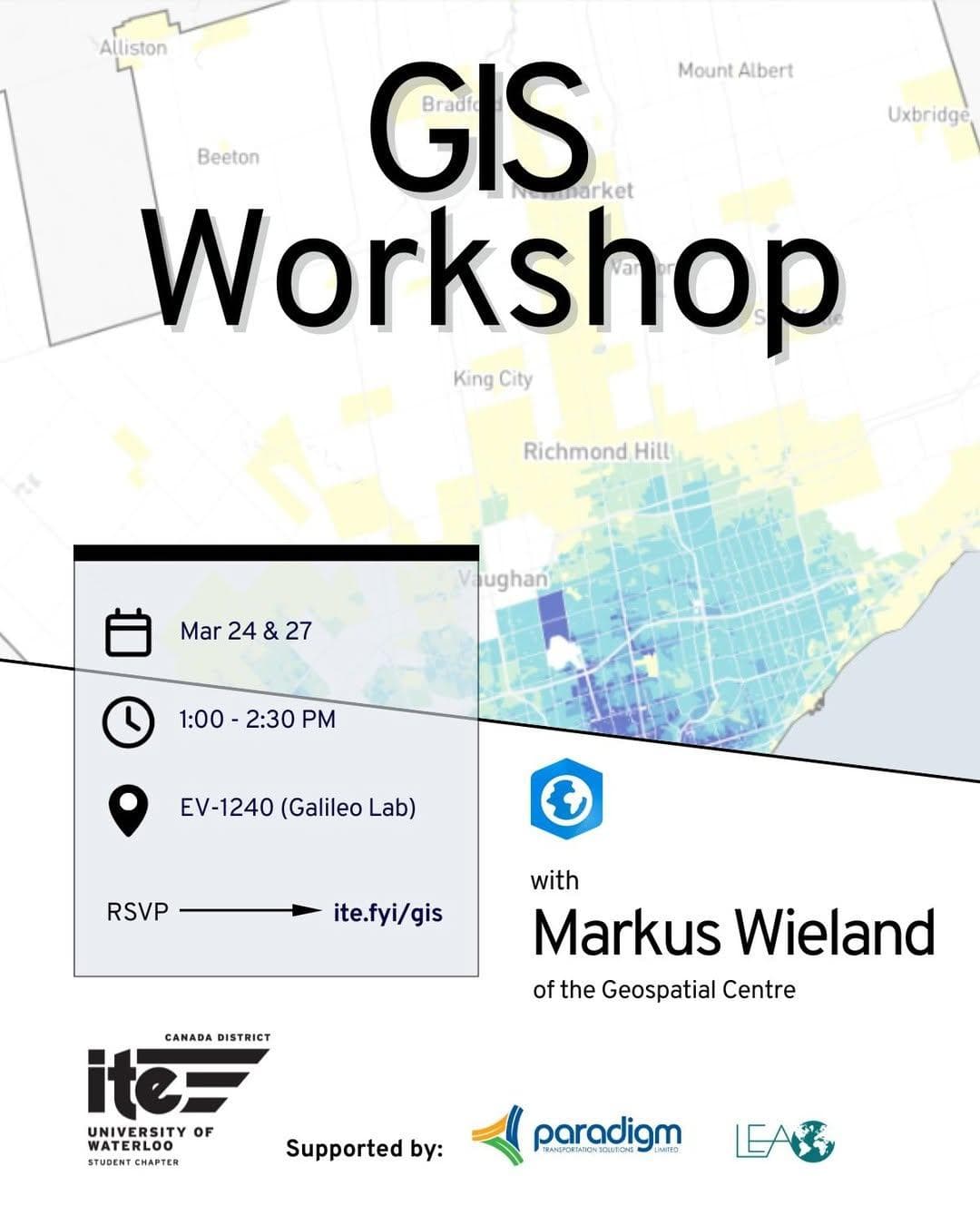
Join us on March 24 and March 27 from 1:00–2:30 PM in EV1 240 (Galileo Lab) for a guided two-part GIS Workshop with University of Waterloo GIS Specialist Markus Wieland. This hands-on workshop introduces ESRI’s Network Analysis Service Area tool in ArcGIS Pro. Designed as a primer for logistics in GIS, participants will explore how time, speed, and distance shape spatial analysis. Markus will walk through the tool step by step, encouraging questions and connecting concepts to skills you may already have. The first session focuses on measuring accessibility to ION stops using an existing Network Dataset. Participants will work with distance cutoffs and examine the limitations of relying on a single variable such as length. The second session explores modifying the Network Dataset to analyze time- and speed-based scenarios, including walking times and realistic travel restrictions. Census age data will be incorporated to assess which age groups are best served under different access scenarios. A working knowledge of ArcGIS Pro is required, as GIS basics will not be covered. UW ArcPro SSO access is required, and datasets will be provided once registration is confirmed. Please note that access to Galileo Lab computers is limited to students enrolled in GIS courses, so bringing your own Windows device is strongly recommended. RSVP at ite.fyi/gis by March 16 to secure your spot. Questions? Contact us at uwaterloo@itecanada.org or connect with us on Discord. We hope to see you there!
Source:https://www.instagram.com/p/DVbwVD6FOBV/